Mapping the world according to you


In a time of staying put, my family is engrossed by maps. In some ways, maps have nothing to do with travel – they are a visual collection of information and geography. But, of course, they have to do with spaces and exploration.
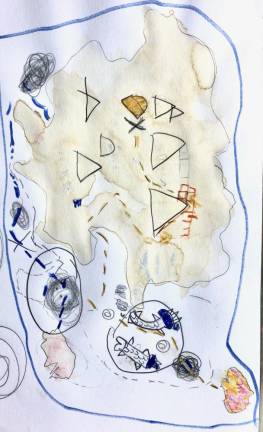
My husband and I find reasons to bring maps out often enough, and sometimes they seem to find us. I came across some books of historical maps at a secondhand store. Then my older son wanted to create an imagined land with maps and a guide to all the magical creatures that live there. My younger son found a map in his favorite coloring book, delighting in the way it corresponded to all the other pictures. And everyone loves to draw treasure maps.
Anytime we pull out our world map, it stays out for an hour. Even if the question that brought it out was something small (Where is our friend Petra working right now? So, where is Mali?), the kids always end up on their bellies, on the map (a discarded classroom map, so large and laminated), examining all the colors, comparing sizes of countries and asking so many questions.
Almost every time, we end up talking about the way that life doesn’t match the map – like the Mercator projection, the method of drawing the world’s most commonly used map, which makes Greenland look larger than Australia, and shrinks Africa so it appears smaller than North America. But we also talk about what is on the map – borders, capitals, bodies of water. And we talk about what other kinds of information could be mapped – trees, agricultural crops, number of parking spaces, topography, pets. It all leads to discussion of what is important to us, what we want to count and what kind of information we want to collect.
Sometimes it’s imagined information, like the magical lands Able drew, but one day in the late summer, we sat on the side of the road and recorded the colors of all the cars that passed for 26 minutes (we were aiming for 30 minutes, but someone tripped, and a skinned knee kind of ends data collection when you are 6 years old).
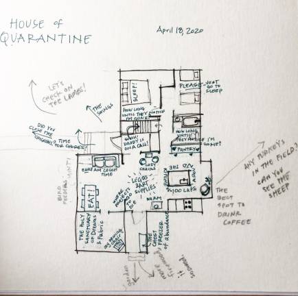
So where are we now? I made a map of my quarantine in the spring, we mapped wild food in the summer, in the fall we learned how to use a compass to draw a compass rose, and in the winter we keep combining all the ideas to see where they take us.
If you are looking for inspiration, I highly recommend Helen Cann’s book, Hand Drawn Maps.