Hiding in plain sight


The blue panels of sky between the trees show that were already high up on the ridge, even as we set out from the trailhead. Hawks soar at eye level. A cauldron of turkey vultures sweeps into view. Their magnificently grotesque mugs are always a shock. The Sterling Ridge Trail is, in more than one way, elevating.
The trail feels solid under my boots. It does not have the storm-tossed quality of my beloved Catskill trails, hit so hard by Irene. Im following a spine of stone like a stream, knowing it will take me somewhere. The striated humps rise and fall like the backs of whales. These are the adamantine remains of an ancient mountain range after the wind and rain has worn everything else down. Imagine conquering Mount Everest, Lhotse and Ama Dablam in a single afternoon. Wait 250 million years, and youll be able to.
You can walk the seven-mile Sterling Ridge Trail in a day, but youll need a car waiting for you at the other end. A bridge is out on the West Milford, N.J., side, which is too bad, because youd otherwise be able to begin or end your hike among the fascinating ruins of the Long Pond Ironworks.
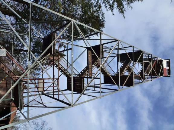
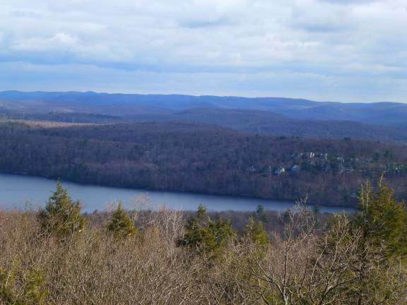
On this day we took a loop trail, setting out from Warwick, N.Y. We ate lunch at a picnic table under the 1922 Sterling fire tower, which looked like something put together with an old Erector Set. Could I trust it? I made my white-knuckled way to the top. The view of Sterling Forest spread in all directions at my feet.
Tom, coming up behind me, spotted something wed never seen before from any of the many mountain vistas wed hiked to: the New York City skyline. From that distance the citys biggest buildings look insubstantial, even pathetic, like a row of crooked teeth. There, the stockbrokers trade and the Rockettes kick. Imagine -- 8 million people, less than 40 miles away. And less than 15 miles away is Woodbury Commons, shopping mall to the world.
So where was everybody? I had avoided this magnificent forest in the stupid belief that just because it was closer to New York than the North Pole, it must be overrun with people. But on this mild, sunny Saturday, we didnt see another soul from dawn to dusk. The trail system is new, after all. Just 15 years ago, the fate of this land was uncertain. But a little boy who once played in these woods grew up to be governor, and its preservation was assured. There really is no substitute for a personal acquaintance with the land. How many people, I wondered, know that you can pull off on Route 17A and disappear down a rabbit hole to a wonderland of cascading streams, stone walls, dwarf pines, fantastical ledges, and breathtaking vistas? And silence, by the truckload.
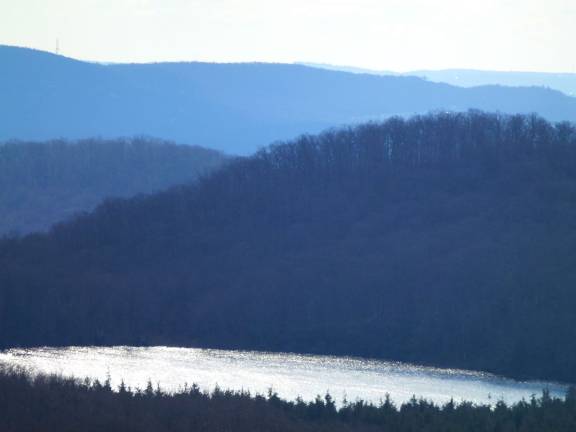
The loop trail dips down to Sterling Lake, and skirts along its shoreline before returning to the trailhead. The quiet echoes in my ears. My head has been turned. I will be back.
STERLING RIDGE LOOP: 7 miles Sterling Ridge Trail/Highlands Trail (blue blazes) starts from Route 17A from Warwick, just east of Penaluna Road
Fire Tower Trail, red blazes Connector Trail, red blazes
Sterling Lake Loop Trail, blue blazes
Sterling Valley Loop Trail, yellow blazes, returns to trailhead